Copyright © 2024 Hydrodata S.p.A. All rights reserved.
Models and Measurements Laboratory
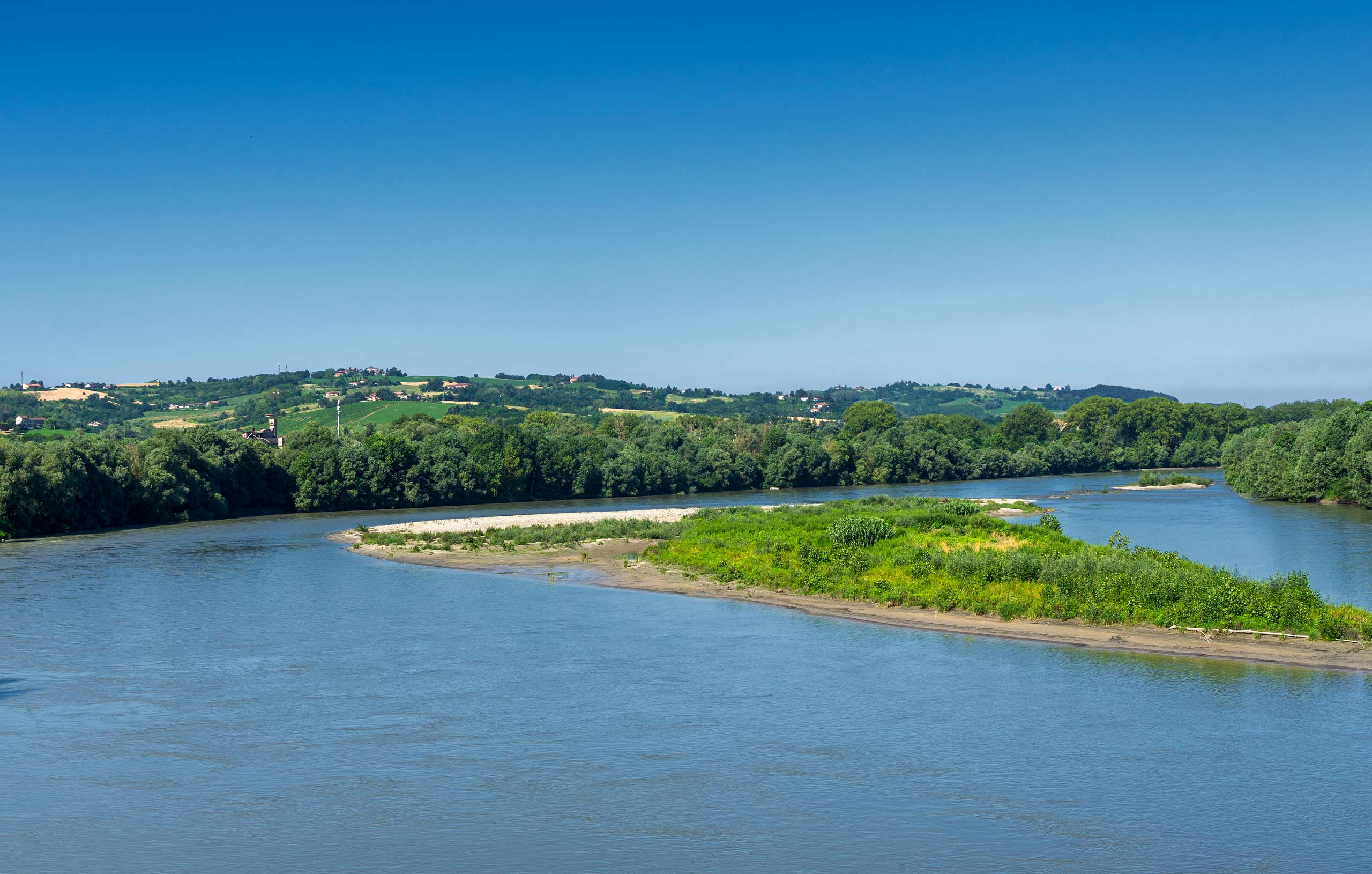
The Laboratory operates in the area with the execution of qualitative and quantitative monitoring of surface and groundwater, investigations on soil and subsoil, control of landslides, implementation of sediment management operations, hydraulic tests and experiments on plants, inspections and classifications of works, topographic-bathymetric surveys, seismic tests and creation of physical models.
Hydrodata, with its internal laboratory structure, directly performs flow measurements, hydraulic tests, verification of the functionality of the fish passes, experiments and calibrations for the release of Ecological Flow.
The Laboratory carries out installation, maintenance and management of qualitative and quantitative monitoring networks, performs sampling of surface water, groundwater and sediments, chemical, biological, environmental, hydromorphological and ecosystem quality analyses, topographic-bathymetric surveys and operates in the implementation of Sediment Management Projects.
The laboratory structure creates hydraulic physical models, carries out inspections and classifications of the risk of crossings and hydraulic structures and operates in the monitoring of reclamation plants, in the execution of investigations on aquifers, springs and landslide movements and seismic geognostics; it carries out leak detection and monitoring of water distribution networks through direct measurements or installation of instrumentation with continuous surveying.
I nostri progetti
Hydrodata ha affiancato l'ente in ogni fase del percorso, dalla ricognizione tecnica delle infrastrutture alla Valutazione Ambientale Strategica e all'analisi economico-finanziaria.